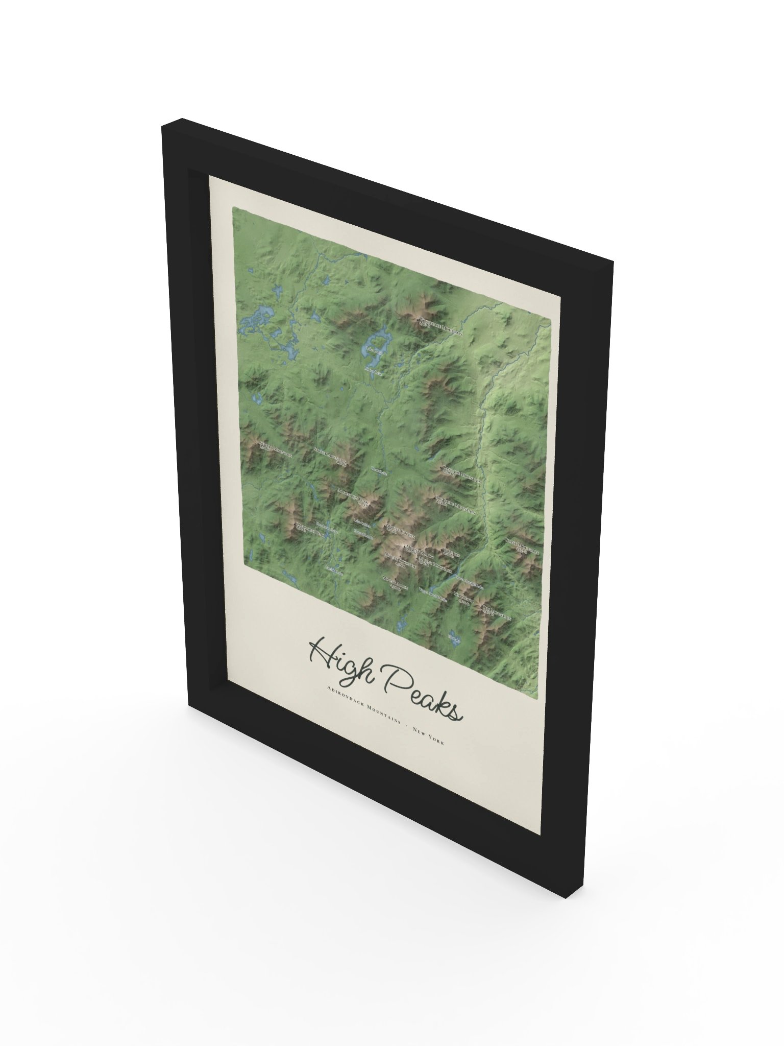
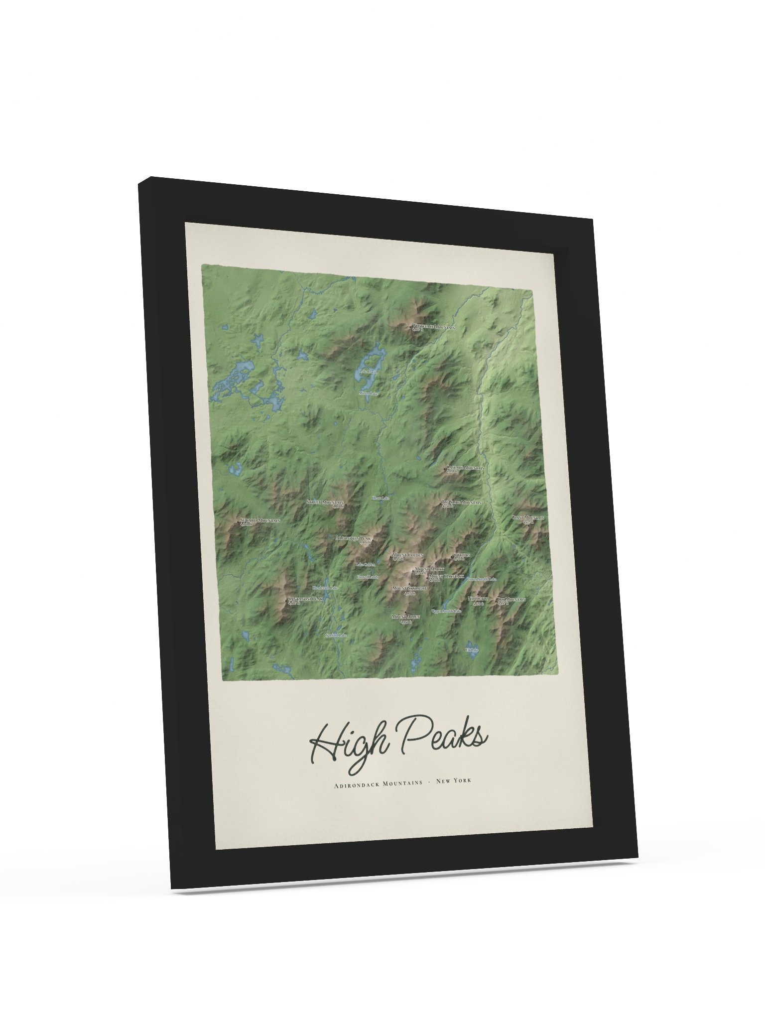
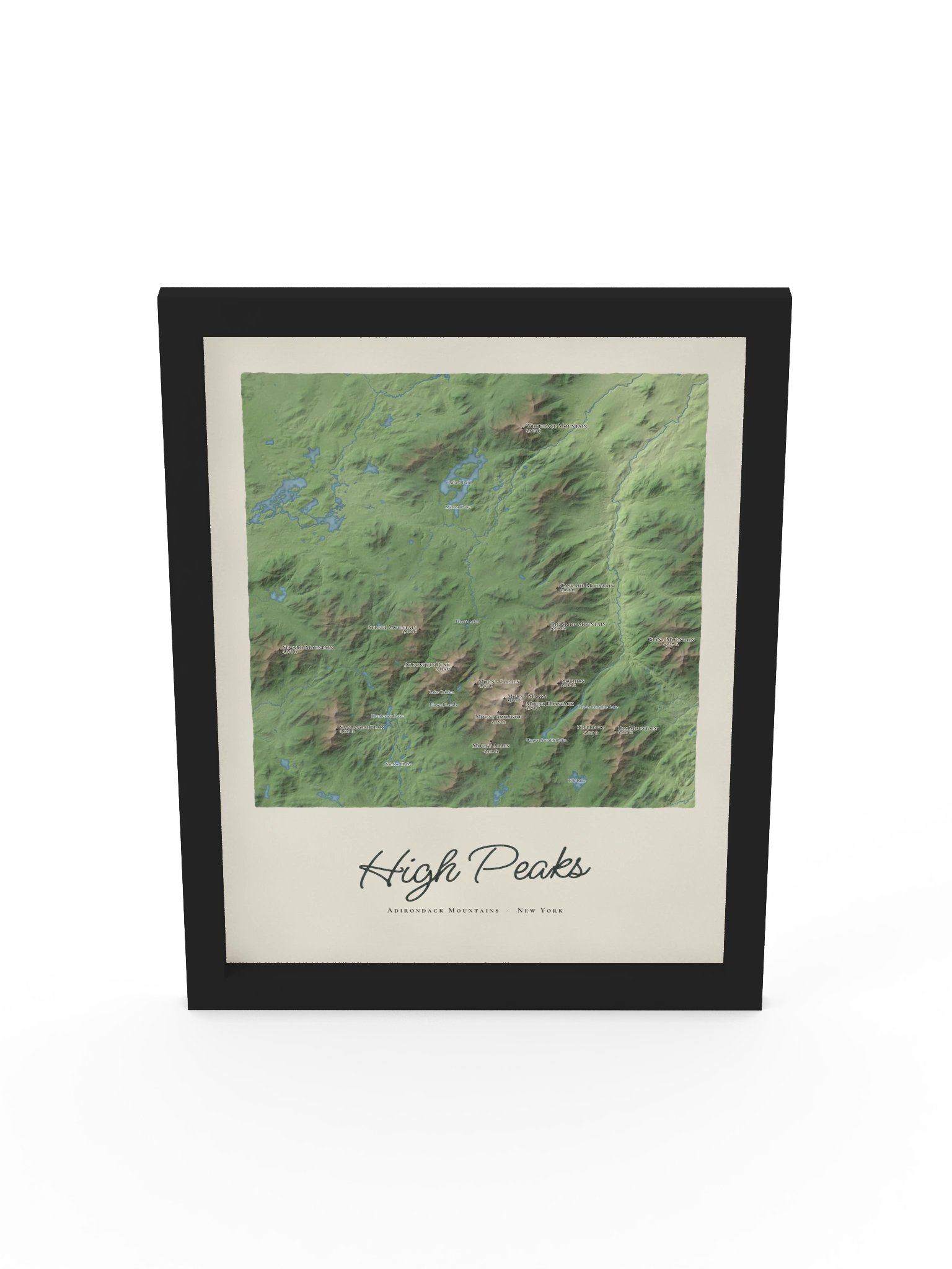
High Peaks Map Framed Print
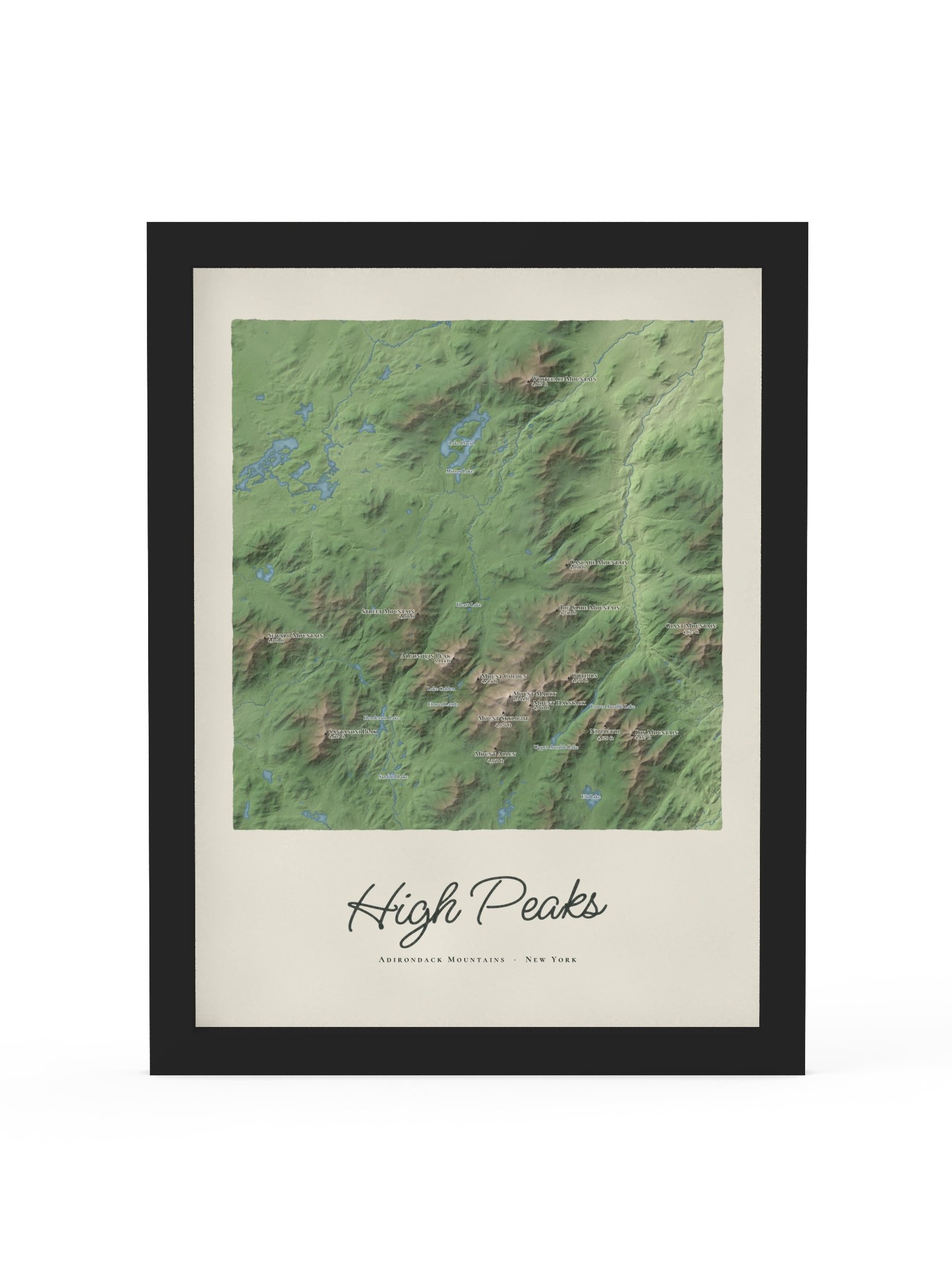
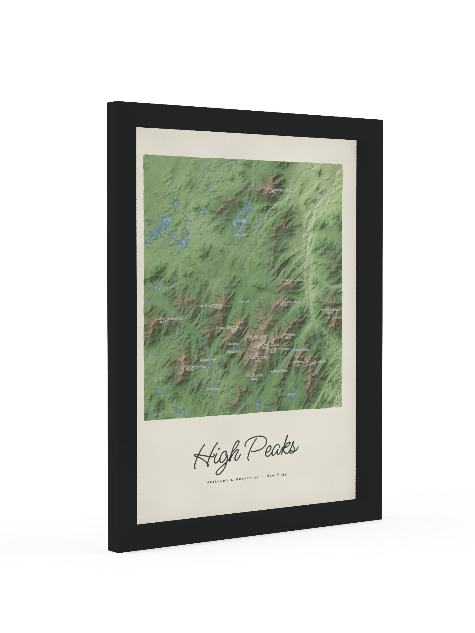
The High Peaks with every summit shaded, from Whiteface in the north to Dix in the south, and sixteen of the high peaks named with their heights, Mount Marcy at the center. Lake Placid, the Ausable lakes, Lake Colden and the rivers are all in place, with High Peaks lettered below in dark green script. Framed and ready to hang.
Original artwork by Ring & Ridge, printed on museum-quality matte paper (260 g/m²) with no mat, so the map fills the frame. Set in a 0.75-inch ayous wood frame (black, natural or white) with an acrylic front and hanging hardware. Printed when you order it.
Map data: U.S. Geological Survey (elevation); lakes and rivers © OpenStreetMap contributors.
More details
- Alder, semi-hardwood frame from renewable forests
- 75" (1.9 cm) thick frame
- Acrylite front protector
- Due to local wood import regulations, framed posters cannot be shipped to Australia.
EU GPSR Product Information:
- Manufacturer contact information
- Name: Ring & Ridge
- Email: contact@support.checkout.ringandridge.com
- Postal address: PO Box 5696 Santa Monica, CA 90405
- Additional information: This product is made for adults. Meets the lead level requirements. 2 year warranty in EEA and UK
Quality Guarantee & Returns
- Quality is guaranteed. If there is a print error or visible quality issue, we'll replace or refund it.
- Because the products are made to order, we do not accept general returns or sizing-related returns.